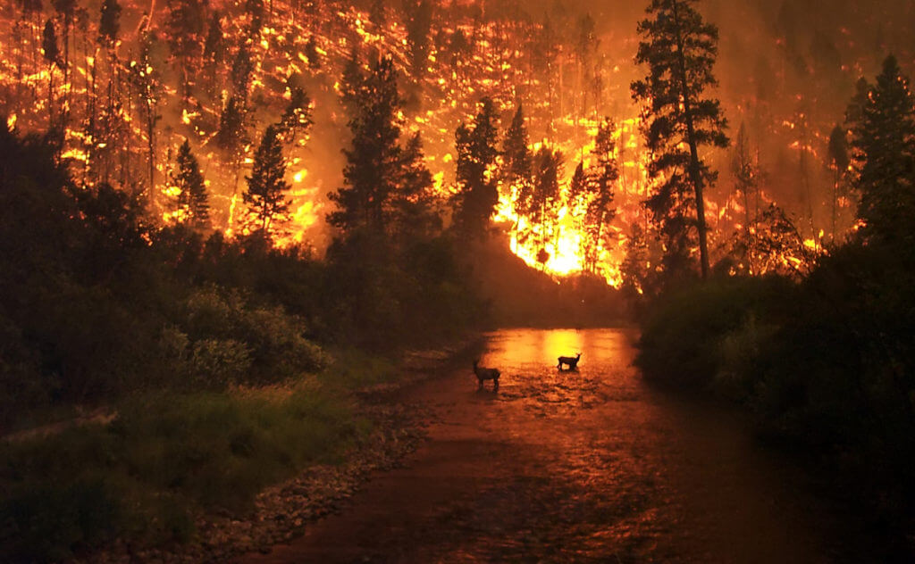
Sula Complex Fire, 2000, MT-BRF, John McColgan
Webcams
Maps
California Wildfire History Map
#FireMappers 3.1 by NAPSG Foundation (Maps of Active Fires)
Index of /public/base_info/topo_maps (Topo Maps)
Aviation
Flightradar24 (Flight Radar)
Air Attack and Helitack Bases (Coming Soon)
Weather
Fire Weather Snooper (CA RAWS)
https://hub.wftiic.ca.gov/apps/CalEMA::nws-statewide-fire-weather-snooper/explore
CNRFC - Hydrology - Observed Precipitation - Past 24 Hours - Southern California
(24hr Precipitation Totals)
Climate Prediction Center - 8 to 14 Day Outlooks
Storm Prediction Center Fire Weather Forecasts (Includes Past Outlooks)
Windy (Weather)
Wildfire Forecast and Threat Intelligence Integration Center
Wildfire Misc.
NIFC FTP (Home Page)
Index of /public/incident_specific_data (Wildfire Info)
https://gacc.nifc.gov/oscc/predictive/intelligence/fires/fires.xls (Major Fires List In CA Since 2004 (Excel sheet)
https://weather.cod.edu/satrad (Satellite)
Predictive Services, Fuels and Fire Danger (SoCal OSCC Fuels)
Fuels/Fire Danger | National Interagency Coordination Center (Fuels and Fire Behavior Advisories)
Wildfire Intel (Forum)
Government Agencies Identification
Apps
Waterbomber App (Airtanker/Helicopter Flight Tracker)
IGNIS | Wildfire Operations on the App Store (Ignis Technologies)
FireSync Ops - No Firefighter Should Be Without It!
PulsePoint | Join with us. Download today.
App Features | Avenza Maps (Maps)

